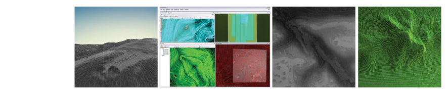
OmniDEM® is an easy-to-use digital elevation modeling (DEM) software system. Through its tight integration with established geo parameters and standards, its purpose is to maximize the efficiency of stereo terrain modeling by providing accurate and simplified software tools. OmniDEM allows users to accurately model, fuse, and manage terrain models with the highest confidence.
GeoGenesis is now fully integrated with, and offered as a module of, IApioneer™.
|